


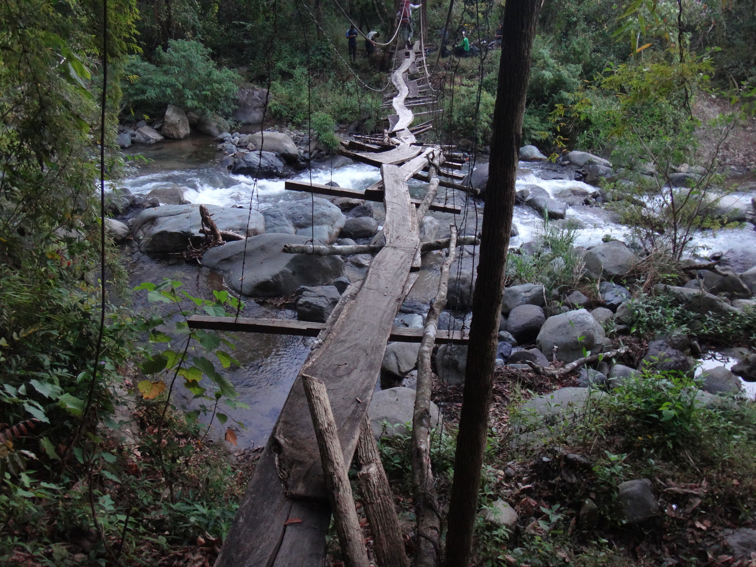
Upcoming Expeditions
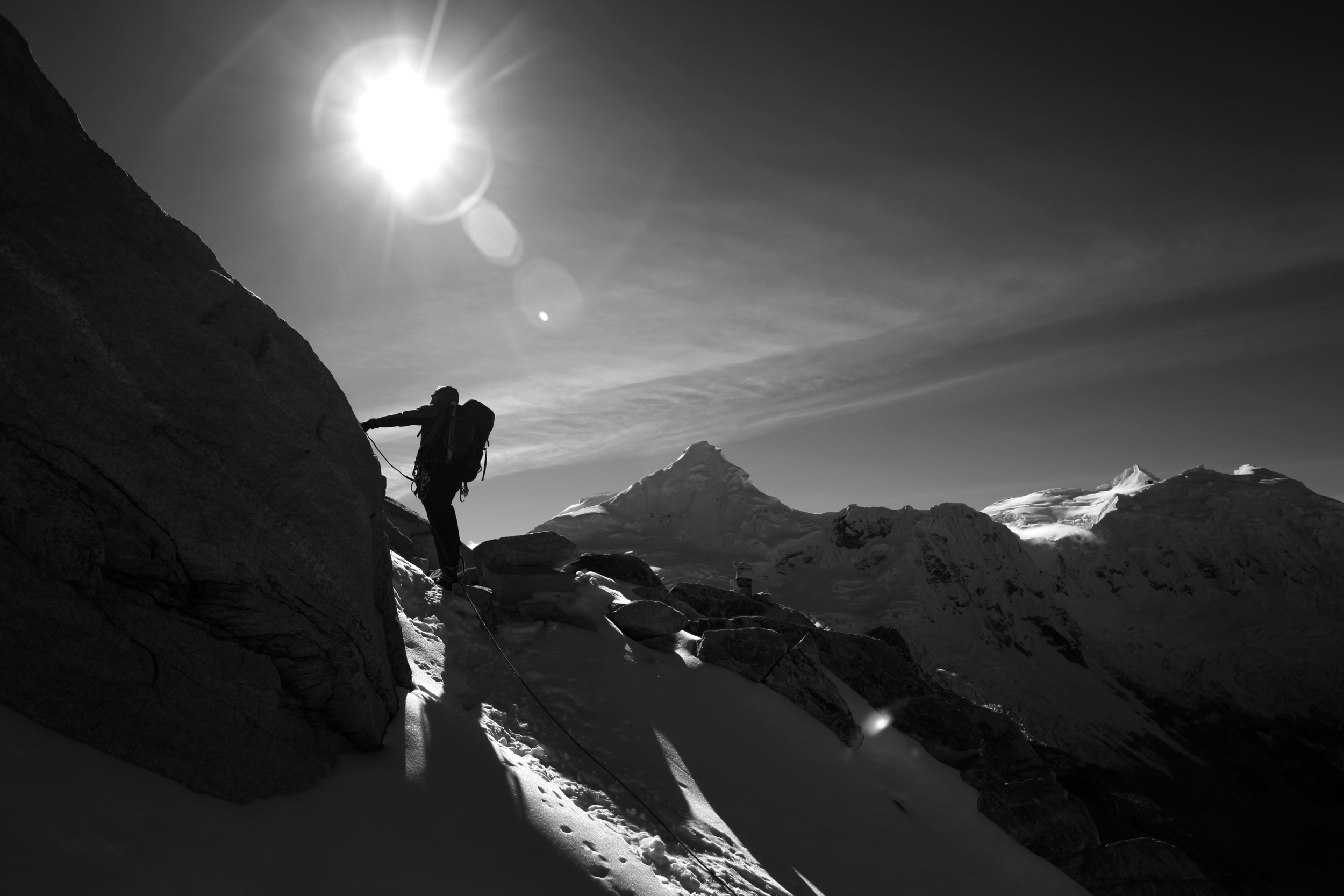
Expedition Bio
John is a Lifetime Fellow of the Explorers Club in New York City. Dr. John All has climbed Mt. Everest (via the North Col/Northeast Ridge) without crampons, as well as Lhotse, Aconcagua, Denali, Artesonraju, Mt. Blanc de Tacul, Alpamayo, El Capitan in Yosemite, and hundreds of other mountains around the world. He has led dozens of expeditions on five continents in extreme locations from deep caves to tropical rain forest, deserts to the world’s highest mountains – including three expeditions to Mt. Everest/Lhotse. He has a paraglider pilot’s license, is a certified SCUBA rescue diver, and spent most of his life volunteering on search and rescue teams. He has been part of several rugby championship teams, was a semi-pro volleyball player in graduate school, and won two national championship awards in his division at the United States American Decathlon in high school. He is a snowboarder, skier, mountain biker, long distance sea kayaker, and caver who has mapped caves all over the world. He has traveled to over fifty countries and lived for more than a month in 16 of them. He has hiked large sections of the Appalachian Trail, the Pacific Crest Trail, and the Inca Trail. During all of these adventures, he has studied how humans adapt to their local environments in order to find commonalities that can inform societies as they adapt to our changing planet.
Past Expeditions
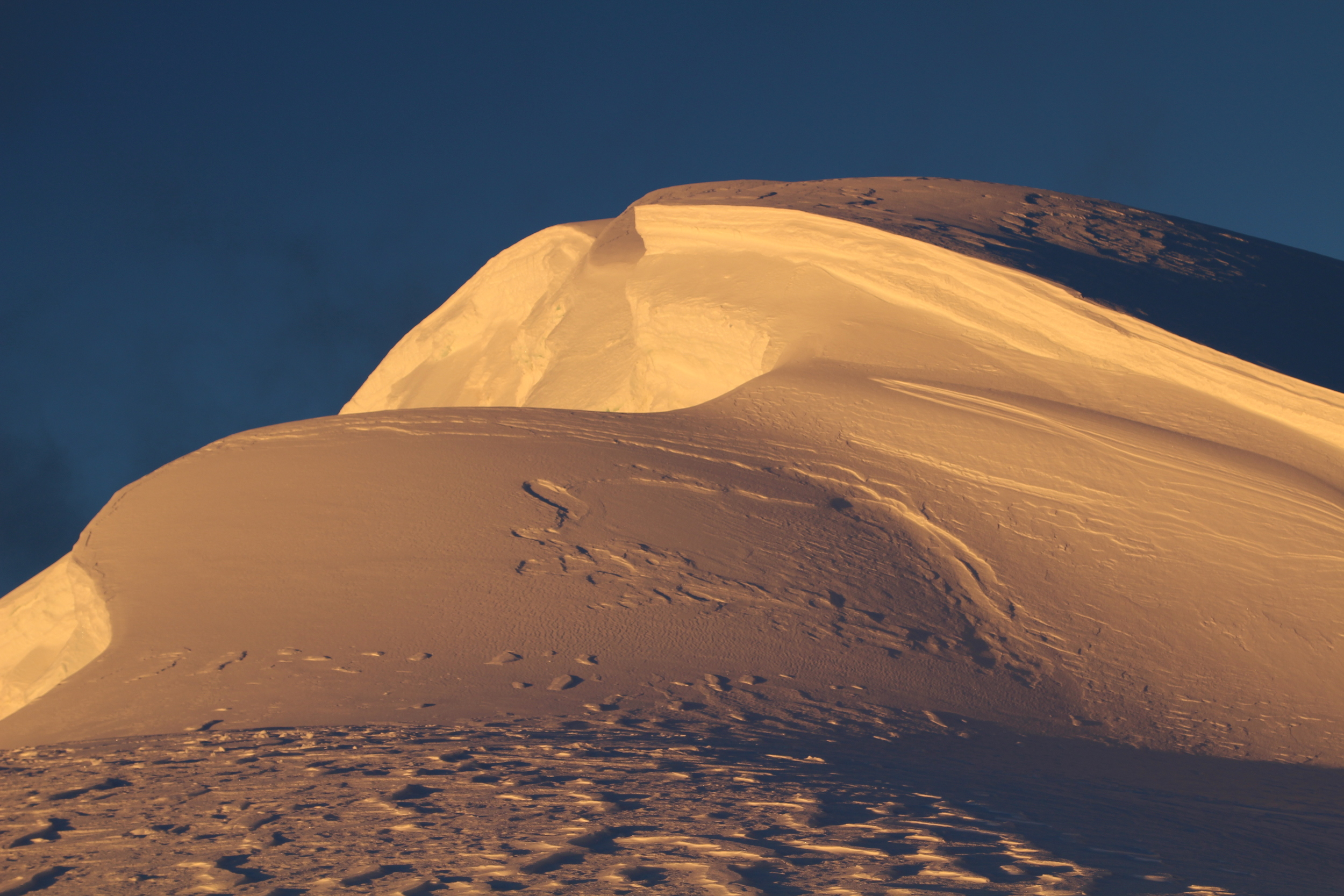
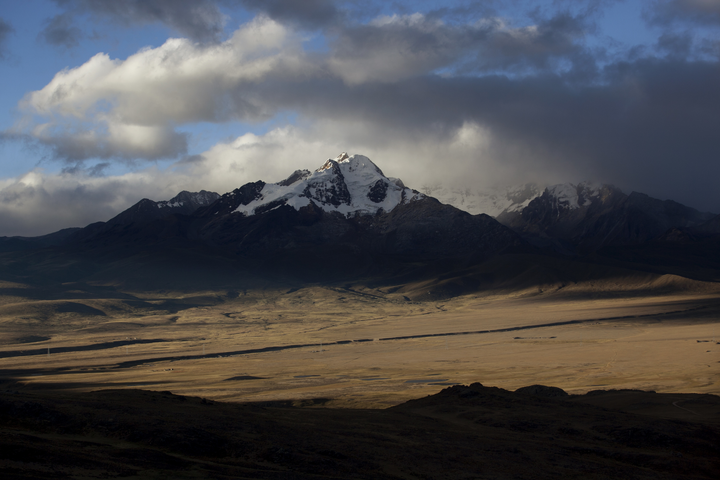
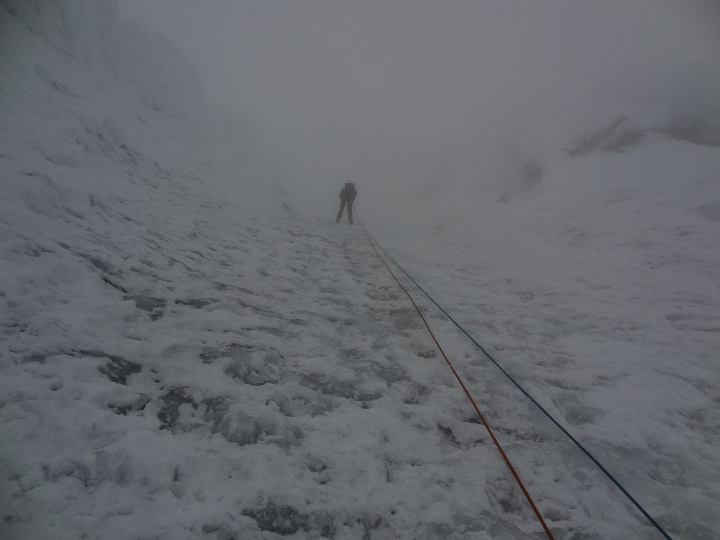
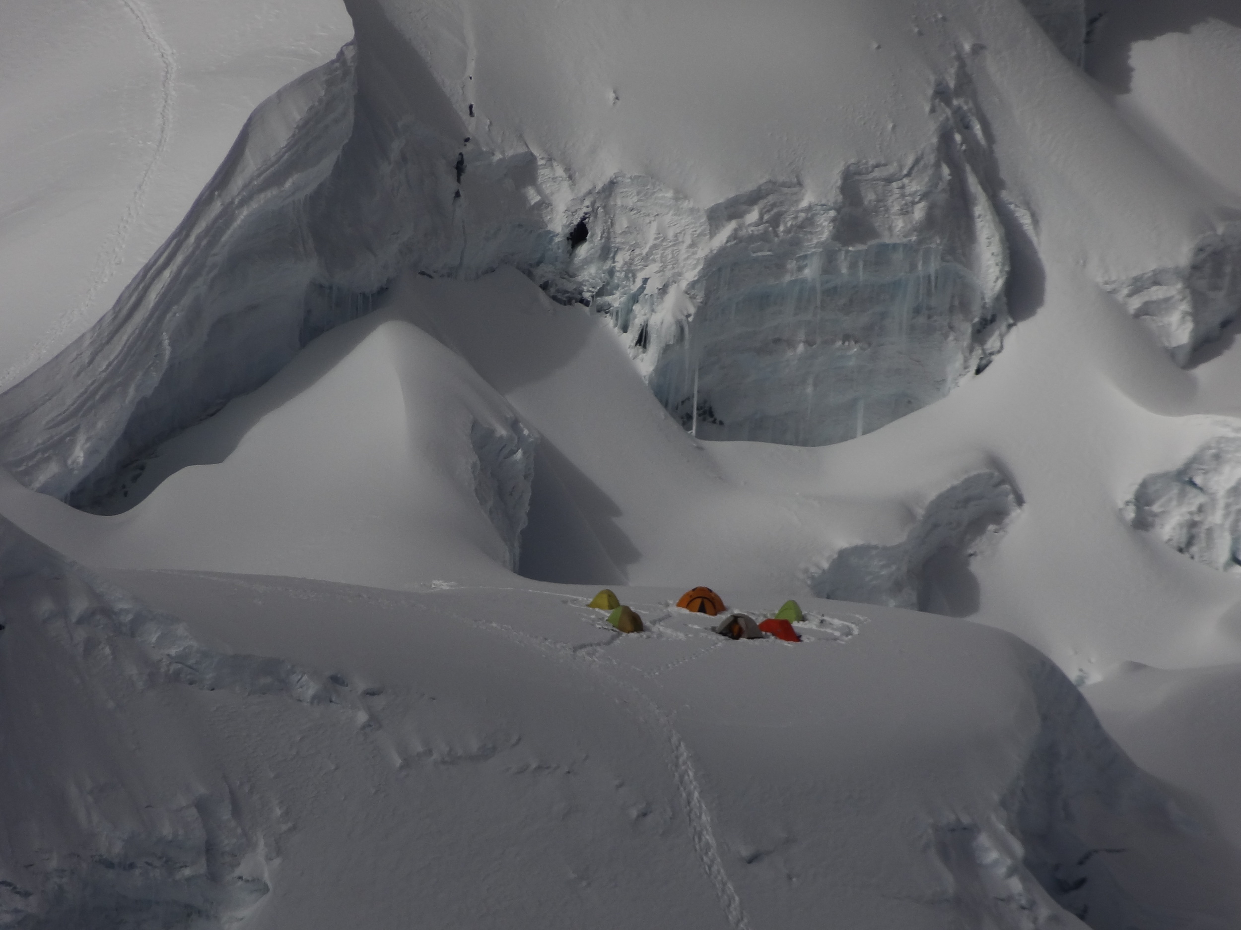
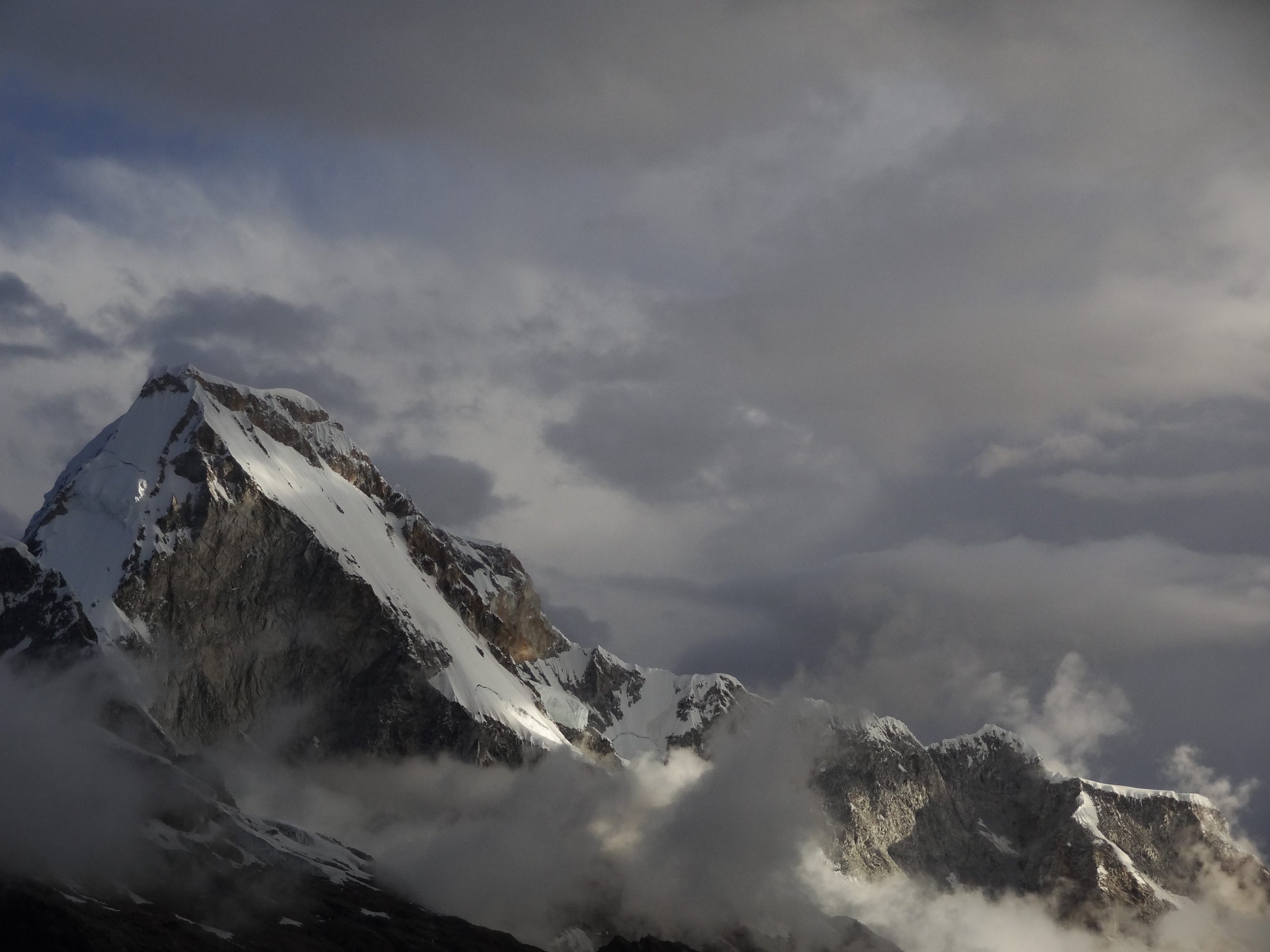
2023/24 Summit of South America Expedition, Argentina
Objective: Collect geology and snow/ice samples on Aconcagua (6962m/ 22,841 ft) - the highest point in South America
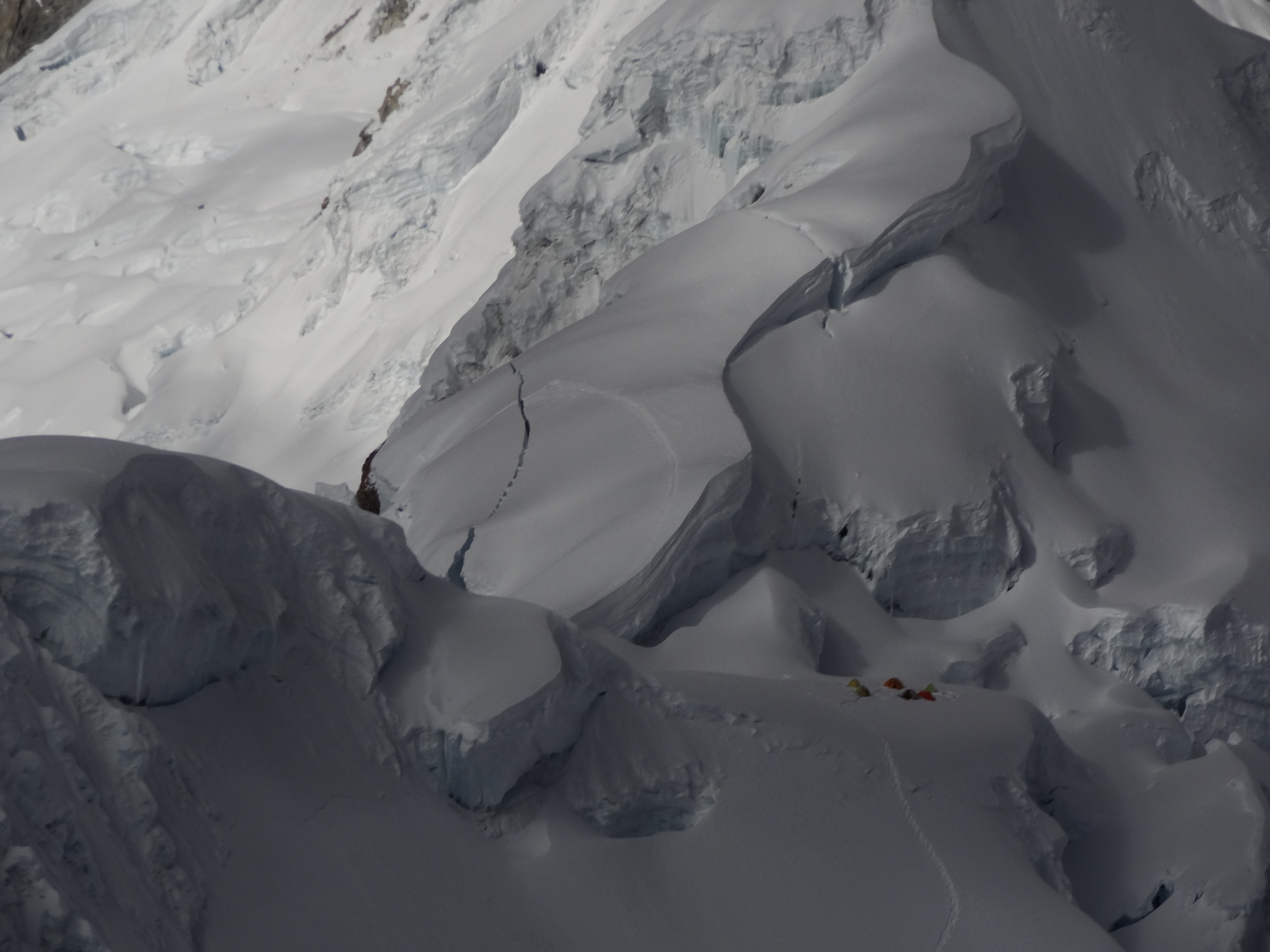
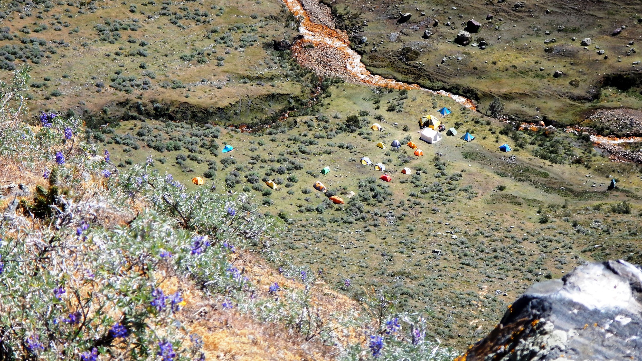
Summary: Our expedition co-leader, Dr. Elizabeth Balgord, has collected geology samples across much of the mountain and throughout the local region over the past ten years in order to examine Andean uplift rates. This expedition was intended to allow her to collect samples on the most remote and difficult parts of the mountain with the help of our expert climbers and tie them to the work she has done with the ACSP in Peru and compare mountain uplift in the central vs. southern Andes. Dr. John All also collected snow and ice samples in these remote areas of Aconcagua in order to further our understanding of global high elevation black carbon deposition on glaciers. These samples will be compared to the Peruvian Andes, Mt. Everest and other Nepal locations, and the Pacific Northwest of the US. Overall, the expedition was a great scientific success in spite of some difficult weather conditions that led to us being stuck in our tents for three days as we waited out a storm at 19,000 ft. Dr. All and one other team member summited and the whole team was safe and had an amazing trip - and we gathered all of the samples we hoped for and got them safely back to the US.
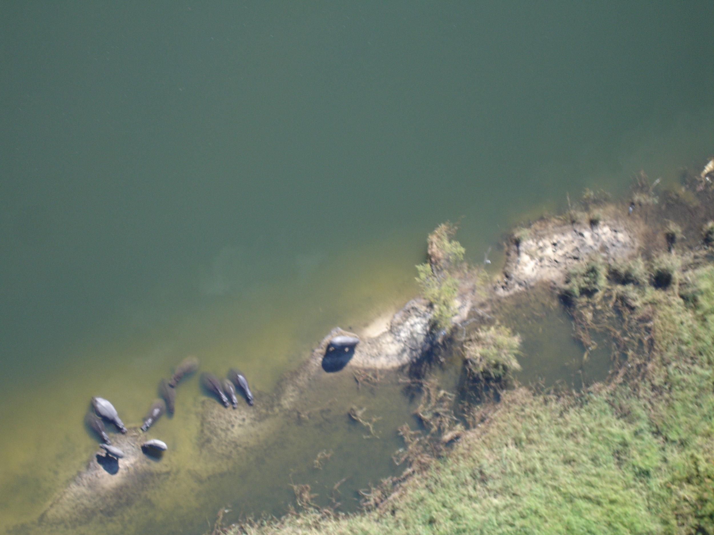
2022 Peru
Objective: Post-COVID resumption of long-term data collection
Summary: Given the uncertainties that plagued us about the future of COVID right up to the expedition date, we opted for a small team of experienced climbers and scientists to resume our water data collection in the most critical locations of Huascaran National Park - and everything went flawlessly! The glaciers had receded dramatically during our absence, but a heavy snowfall year covered crevasses and allowed up to sample in all of our study sites. We climbed multiple peaks over 5000 meters and collected data in both the Cordillera Blanca and Negra.
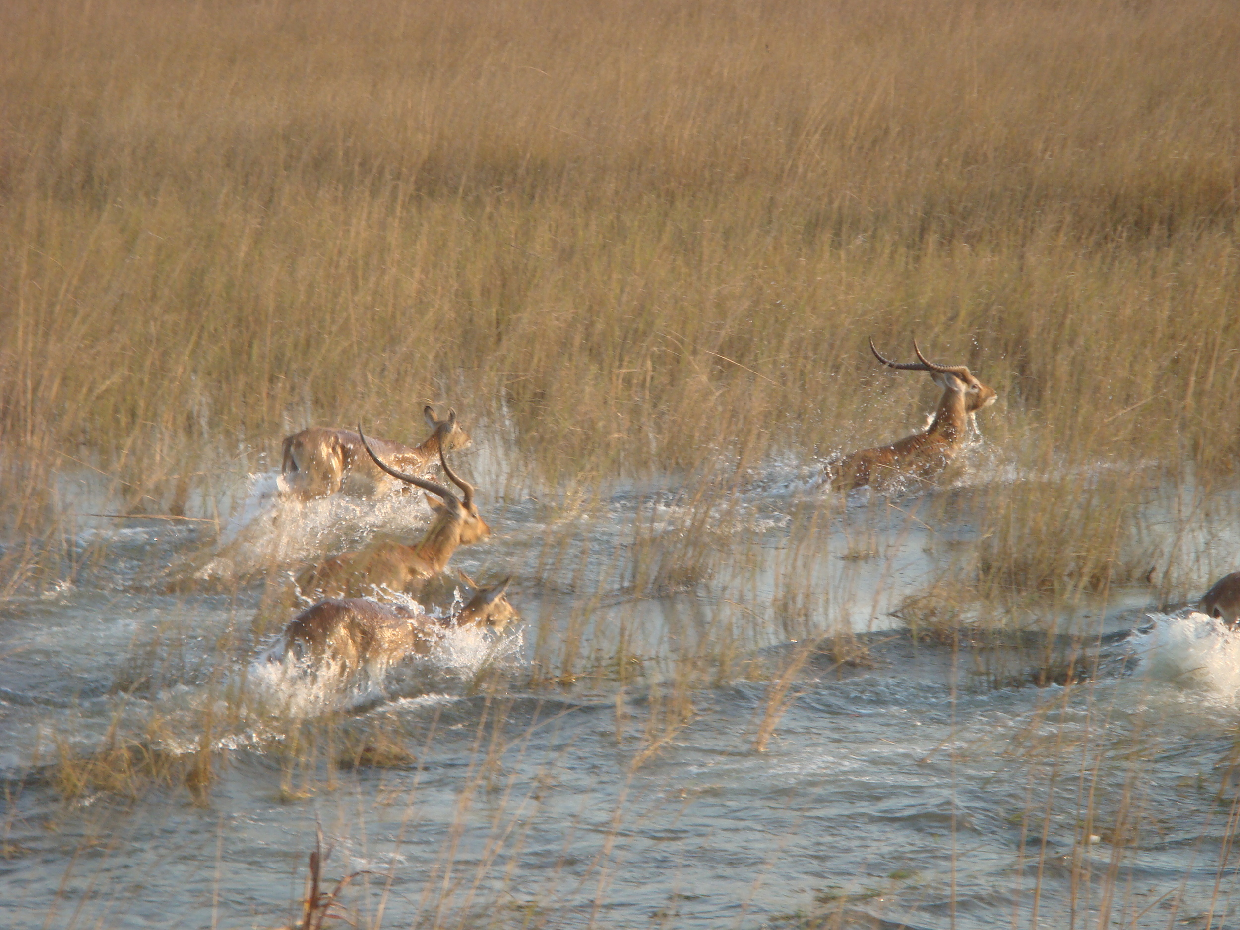
2022 India
Objective: Work with Indian stakeholders on establishing Long-Term Ecological Research Sites
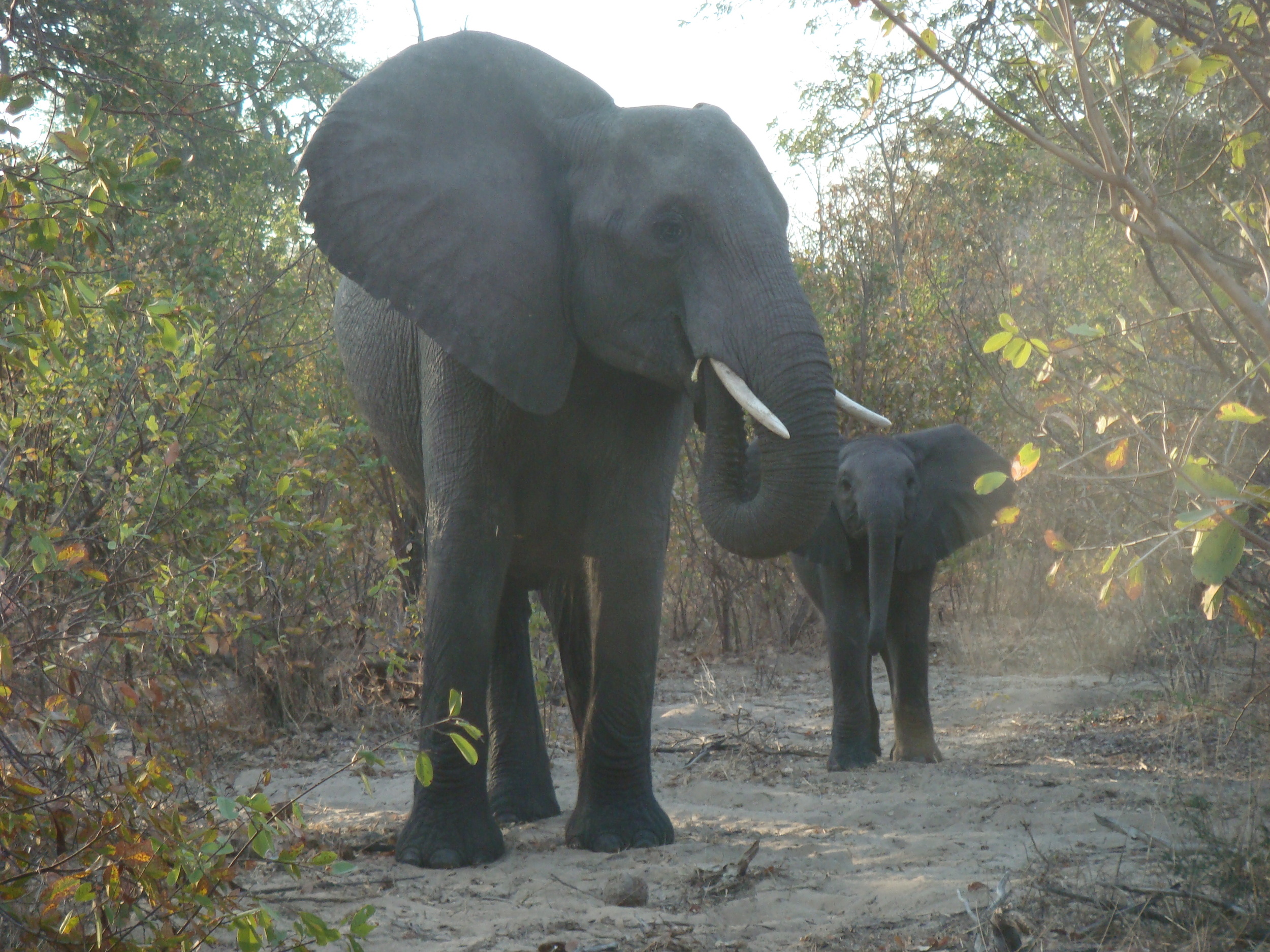
Summary: The State Department facilitated this expedition to the mountainous region near the Kashmir border in India to work with CSIR- Institute of Himalayan Bioresource Technology. We visited three high-elevation sites to establish tree-line monitoring, litterfall traps, and various other monitoring systems. With this background, CSIR-IHMT will continue establishing new sites in a long-term collaboration. The trip highlight was observing a Himalayan Brown Bear up close in an area that they had never been observed before - thankfully he choose to climb the cliffs to escape above us rather than engaging in a confrontation.
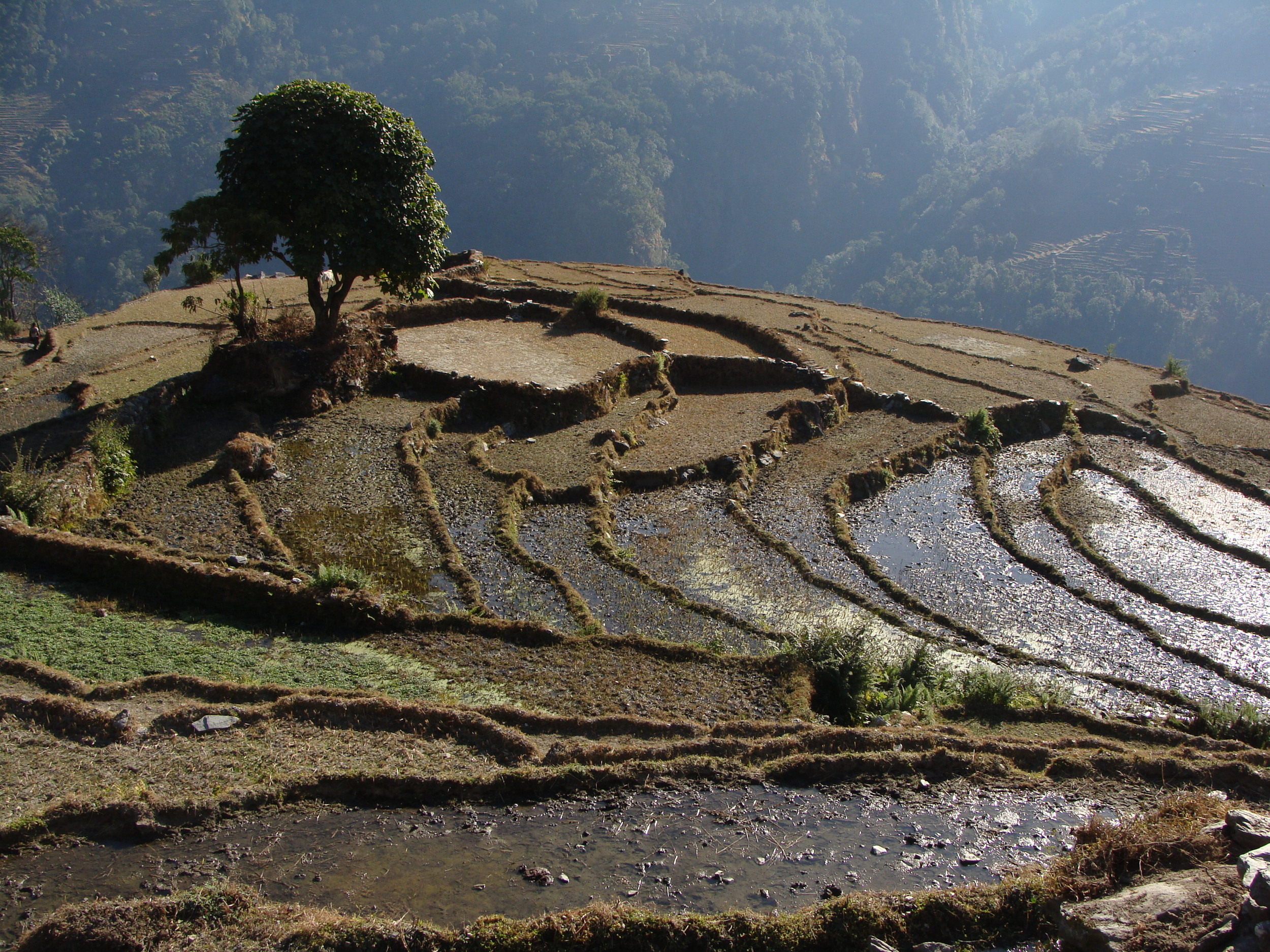
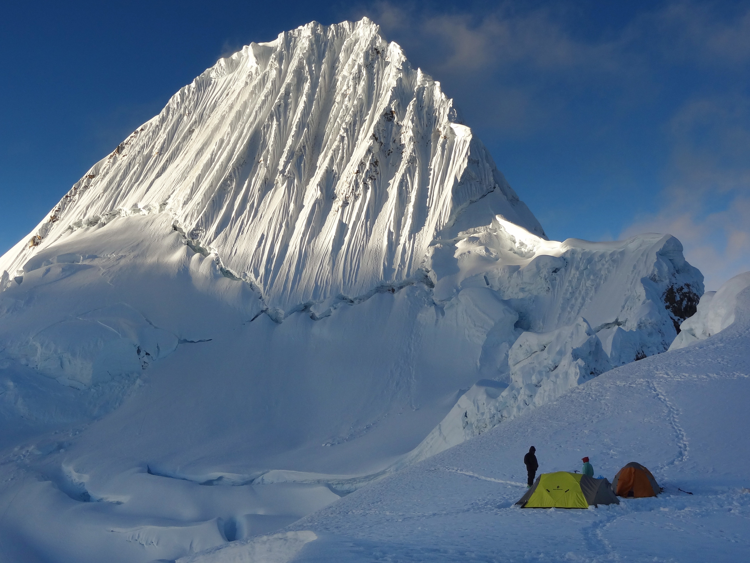
2019 Peru
Objective: Geoinformatic basemap creation and continuing long-term dataset collection
Summary: Our 4th annual WWU Mountain Institute expedition was one of our most dynamic. We focused our teams on collecting geoinformatics baseline data to create hydrological and soil maps of the Huascaran valleys. We also had a focus on a blight that is striking the world’s highest elevation trees - polylepis spp. With ACSP personnel including an veteran of the Iraq War and with Weber State University students and faculty, we collected the highest rock samples ever collected in South America (over 20,000 ft, 6000 m) on Ranrapalca. This phenomenal group was the best and last WWU expedition as COVID ended our classes not long afterwards.
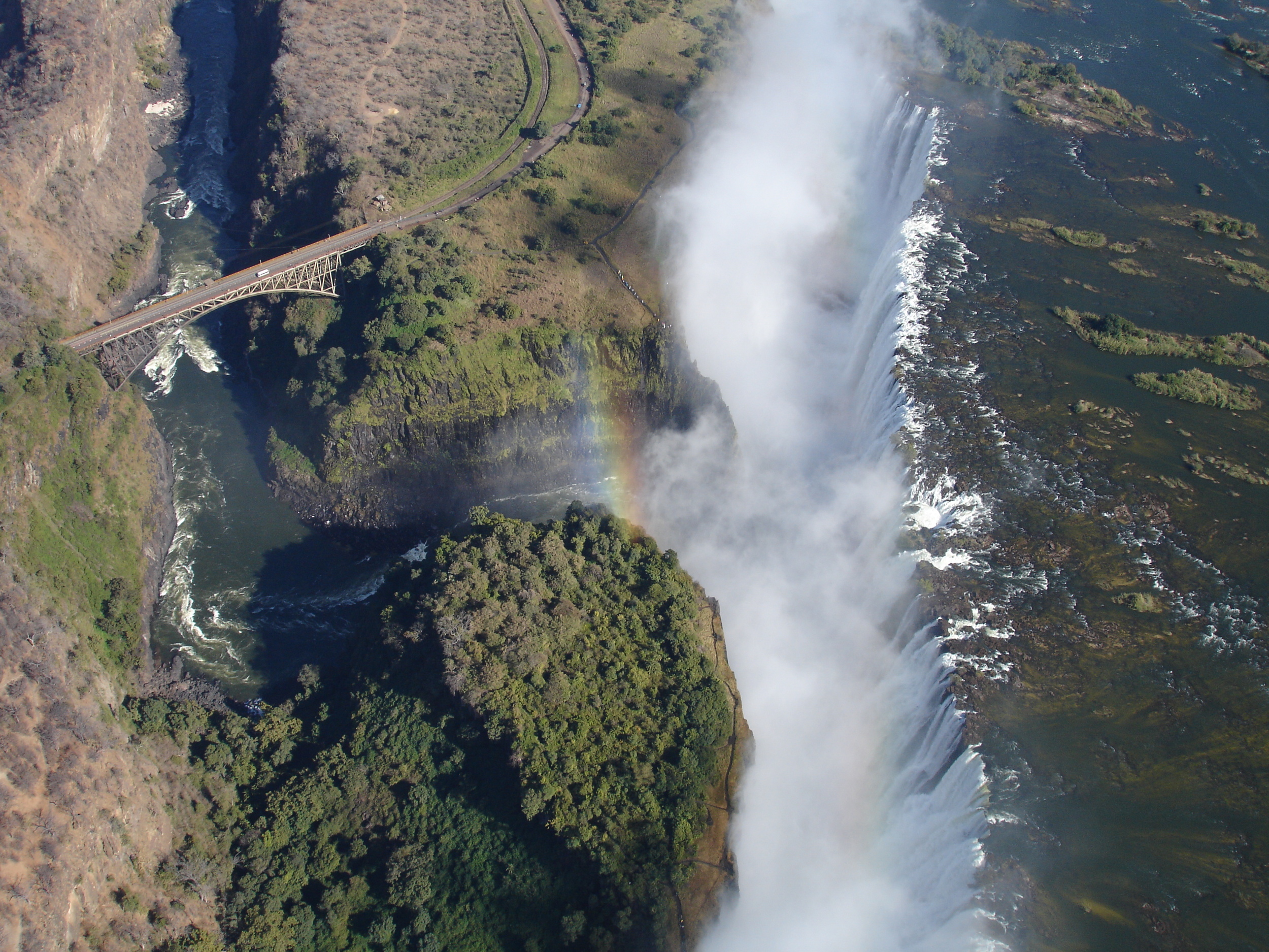
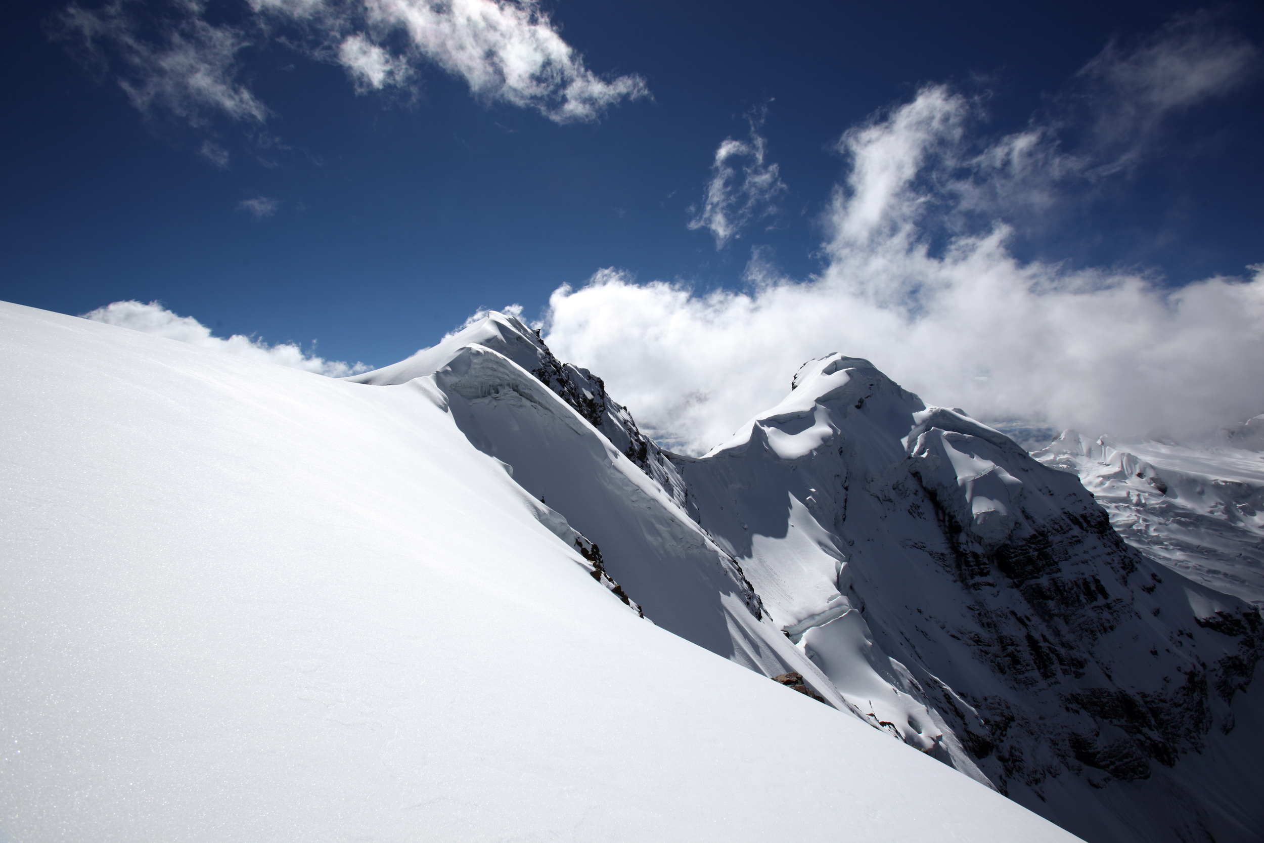
2019 Nepal
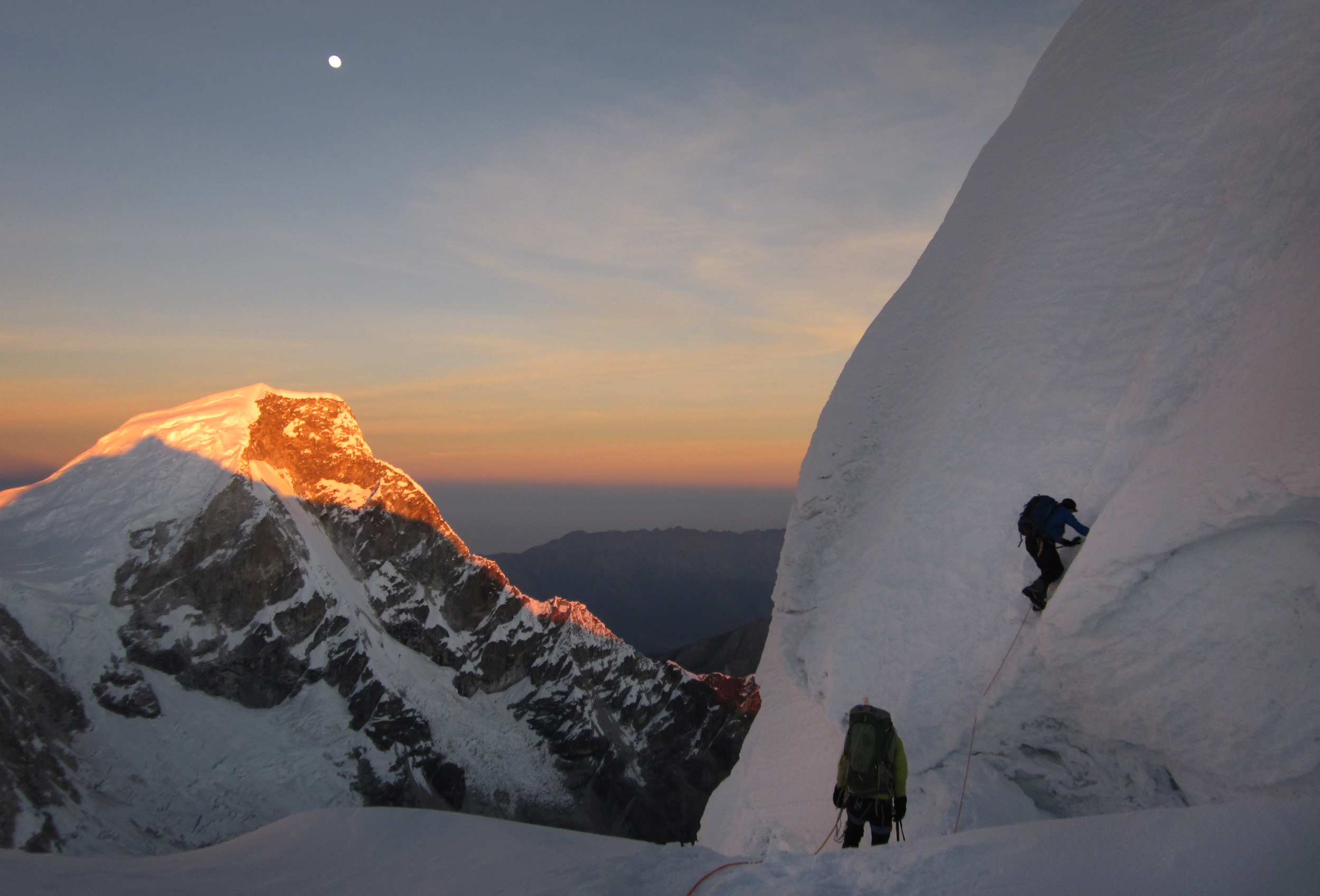
Objective: Scientific sampling on several mountains including to the summits of Lhotse and Mt. Everest
Summary: This expedition was widely covered by press worldwide and we achieved new global ‘world records’ in scientific sampling by collecting snow samples on the summit of Mt. Lhotse (the 4th highest mountain on earth) and to over 8000 meters on Mt. Everest. We also did repeat vegetation sampling of over two hundred data points from my 2009/10 expeditions (see below) and working with the Western Washington Herbarium and Tribhuvan Himalayan Herbarium, collected hundreds of samples with US and Peruvian graduate students. We also conducted nearly 100 interviews in the Khumbu valley and nearby areas examining how climate change and the Nepal civil war were impacting people - these were also follow-ups to the 2009/10 expedition interviews.
2018 Peru
Objective: Water quality monitoring and continued long-term dataset
Summary: WWU students returned to the Cordillera Blanca as part of our 3rd annual Mountain Research in the Peruvain Andes academic course. We had a diverse set of projects mainly focused on water quality and the geological impacts of deglaciation on that water quality. We also took extensive data across the Cordillera Blanca to document biodiversity impacts of rapidly changing climate and begin studying the long term impacts for local communities.
2017 Peru
Objective: Installing a flood early warning system and mapping the geology of Huascaran National Park
Summary: Early in 2017, a glacier collapse above Lake Palcacocha and creating a panic in Huaraz and raising international awareness of the danger of a castatrophic flood that could kill thousands of people. We decided to help and I brought a solar electrical engineer as part of our team in Peru. We rigged a solar array and a webcam on a steep ridge above the lake at approximate 4500 m (14,764 ft). This work was in close coordination with Huascaran National Park and Peru's National Institute for Glaciers and Mountain Ecosystem. We also began to map the geology in the national park as a way of addressing long term water supply concerns in the region.
2016 Peru
Objective: WWU student expedition and measure the devastating 2016 El Nino glacier impacts
Summary: I brought 18 WWU students to the Cordillera Blanca as part of our 1st annual Mountain Research in the Peruvain Andes academic course. The El Nino of 2016 had a catastrophic impact on glacier cover in the Andes. Normally rain occurs up to 4800 meters and this year it moved up to 5400 meters and it devastated glaciers at lower elevations. We took extensive data across the Cordillera Blanca in order to document this ice loss and begin studying the long term impacts for local communities.
2015 Peru
Objective: Develop a water quality map for Huascaran National Park and continue environmental data collection..
Summary: This year we began to delve deeply into the more remote areas of valleys we had already explored and to sample water quality and the glaciers more intensely. None of our participants had climbed a major alpine peak prior to the expedition but over the course of nine weeks we had all 21 of our participants summit peaks higher than 5400 meters (~17700 ft).
2014 Peru
Objective: Continue to develop the ACSP’s research program and tie it closely to local stakeholder needs through a major USAID grant.
Summary: We also worked with an archeological team from Vanderbilt University to explore and map some newly discovered high altitude ruins. We further expanded our work with Peruvian universities including new collaborations with Catolica University in Lima and San Marcos University in Lima. We received permission to explore parts of HNP that are normally off-limits to outsiders in order to further expand our vegetation and climate change research.
2014 Nepal
Objective: Under the auspices of the ACSP, I led a team on Mt. Everest and Lhotse to collect a variety of environmental data to compare with our on-going research in the Cordillera Blanca in Peru and our past research on Mt. Everest.
Summary: The expedition was carried out at high elevation in spite of a tragic accident that killed part of our team and 15 other Sherpas. After the accident, we extended our expedition to Mt. Himlung near Annapurna and continued collecting data until a second accident on the rapidly melting glaciers ended the expedition. This research was supported by the National Science Foundation, the American Alpine Club, and US Fulbright Program.
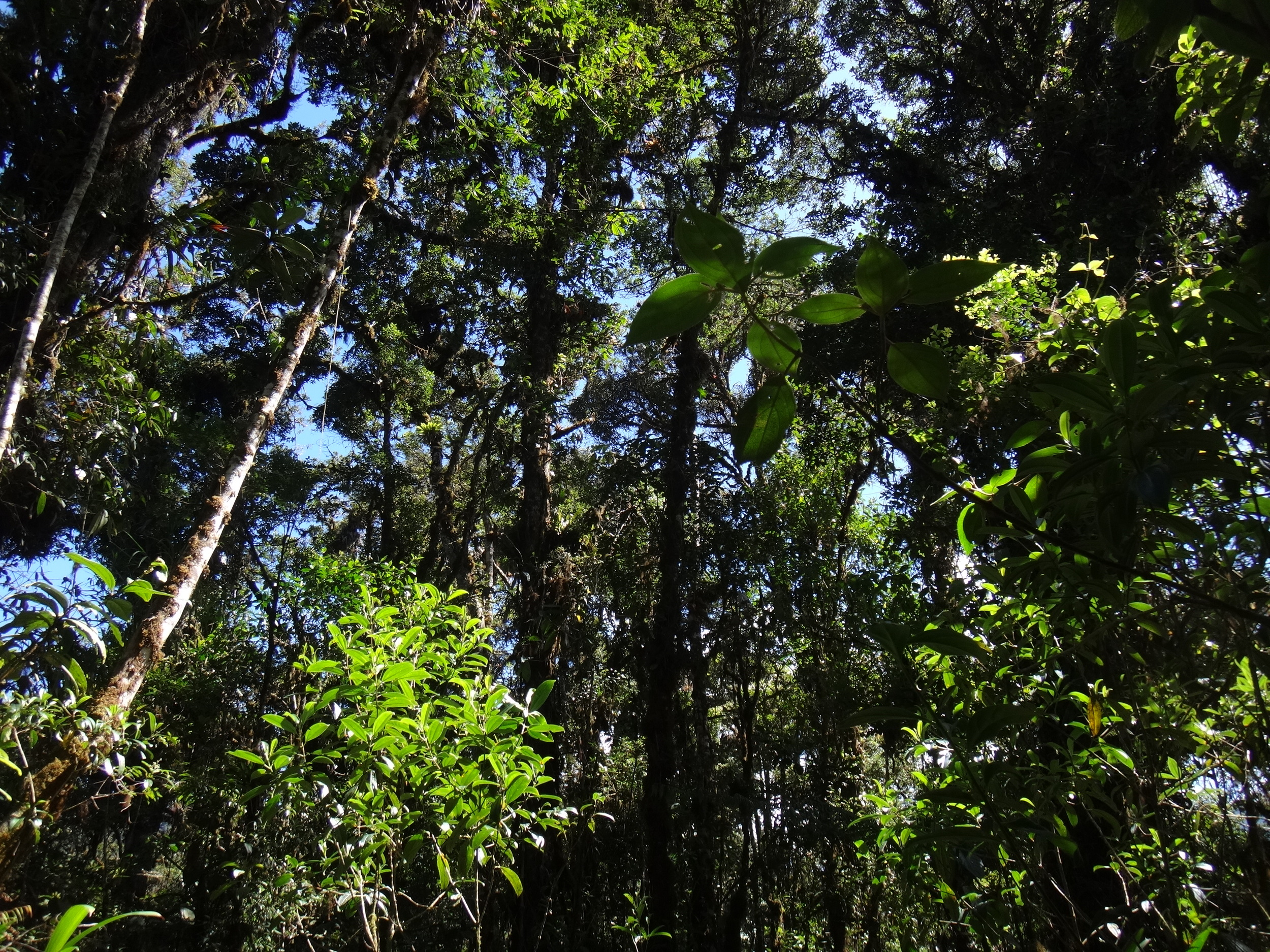
2013/14 Costa Rica
Objective: Traverse the country of Costa Rica in likely the first ever Central American Coast to Coast Environmental Transect (C2C) in order to collect a variety of environmental data and assess environmental conditions in the Talamanca Mountains – the highest and most remote in Central America.
Summary: Under the auspices of the ACSP, Rebecca Cole, a scientist from the University of Colorado INSTAAR, and I led a team in traversing Costa Rica with the support of the Las Cruces Biological Station of the Organization of Tropical Studies (www.ots.ac.cr), Finca Loma Linda, and the Parque Internacional La Amistad. This effort provided a wealth of environmental data as the ACSP explored and documented the mountain jungles of the Talamanca Range – the highest in Central America – and travels from the Pacific to the Atlantic oceans.
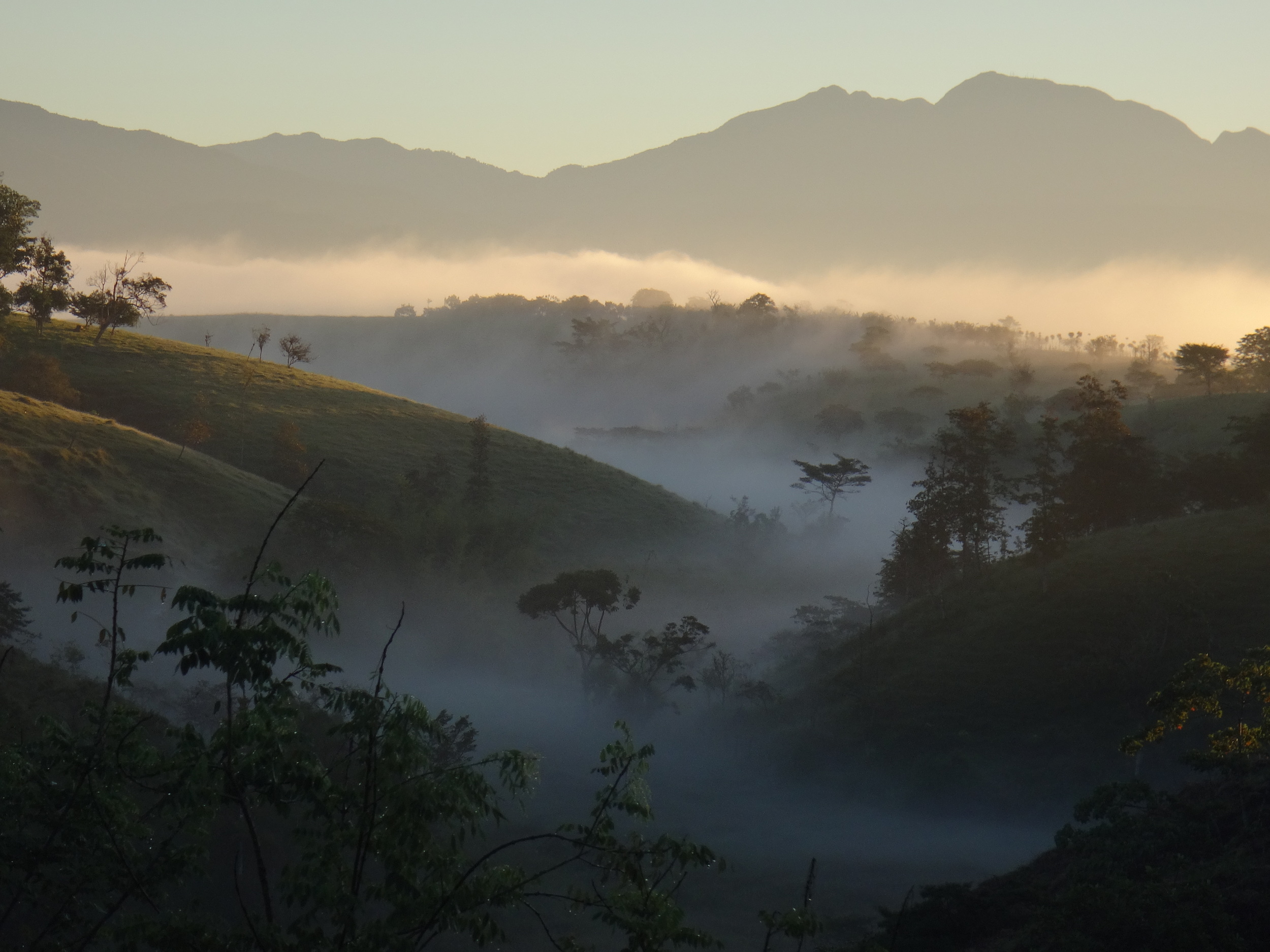
2013 Peru
Objective: Continue the scientific research started in 2011 and 2012, while broadening participation in the ACSP among climbers and students and increasing Peruvian involvement in our work.
Summary: During this field season, Ellen Lapham, Rebecca Cole, Carl Scmitt, and I brought together over fifty participants from a wide spectrum of society – scientists, artists and bankers from New York City, doctors from Harvard, students from across the country, the Director of Huascaran National Park (HNP) and his sons – as part of our science and conservation work. We continued developing and refining science data collection techniques for remote locations. We explored new valleys and discovered that historic routes in the Cordillera Blanca are no longer viable without extreme technical skills. We presented research at two Peruvian research conferences organized by CARE, the Swiss government, USAID, the Peruvian Ministry of Environment, and others. We began working with La Molina University in Lima and increased our student engagement with UNASAM. The new Director of HNP is extremely interested in our work and we believe this Program will continue to flourish. This research was supported by the American Alpine Club and Peruvian Ministry of Environment.
2012 Peru
Objective: Investigate new science opportunities and protocols in the Cordillera Blanca while expanding our spatial coverage of the range.
Summary: During this expedition, the American Climber Science Program brought a number of scientists together – physicists, chemists, geoscientists, and others – to explore a larger range of research opportunities while continuing the work we pioneered in 2011. We explored techniques to measure the radiative balance of glaciers using spectrometers to add to our particulate work and CO2 measurements in order to better evaluate the long-term stability of glaciers. We climbed eleven peaks and numerous scientists achieved personal ‘first ascents’ of their first peaks over 5000 meters. This research was supported by the American Alpine Club and Peruvian Ministry of Environment.
2011 Peru
Objective: Create a new holistic environmental research paradigm in the Cordillera Blanca.
Summary: In 2011 after disruption in an existing expedition, I worked with Ellen Lapham, Rebecca Cole, Carl Schmitt, and a number of other like-minded scientists, as well as climbers who wanted to participate in science and conservation activities to create a new research paradigm. This expedition was the beginning of the American Climber Science Program, or ACSP. Our initial efforts were focused on mountain meteorology, particulates on snow, alpine ecology, and carbon dioxide on glacier margins. We did a first ascent of a North Ridge variation on Artesonraju (6025 m) and the first full traverse of the mountain. We successfully climbed seven peaks - including Huascaran Sur (6768 m), the highest point in Peru and in the Earth’s tropical zone - and explored a number of remote locations to gather our data. We began a long-term working relationship with the Ministry of the Environment, Huascaran National Park staff, and UNASAM – the University of Huaraz in Peru. This research was supported by the American Alpine Club and the Peruvian Ministries of Life and of Environment.
2011 Alaska
Objective: Develop snow sampling techniques to measure glacier degradation on Denali.
Summary: We spent several weeks climbing the mountain and exploring side valleys to examine snow and ice processes from both isolated and more commonly visited parts of the mountain. Samples were taken all of the way up to the summit.
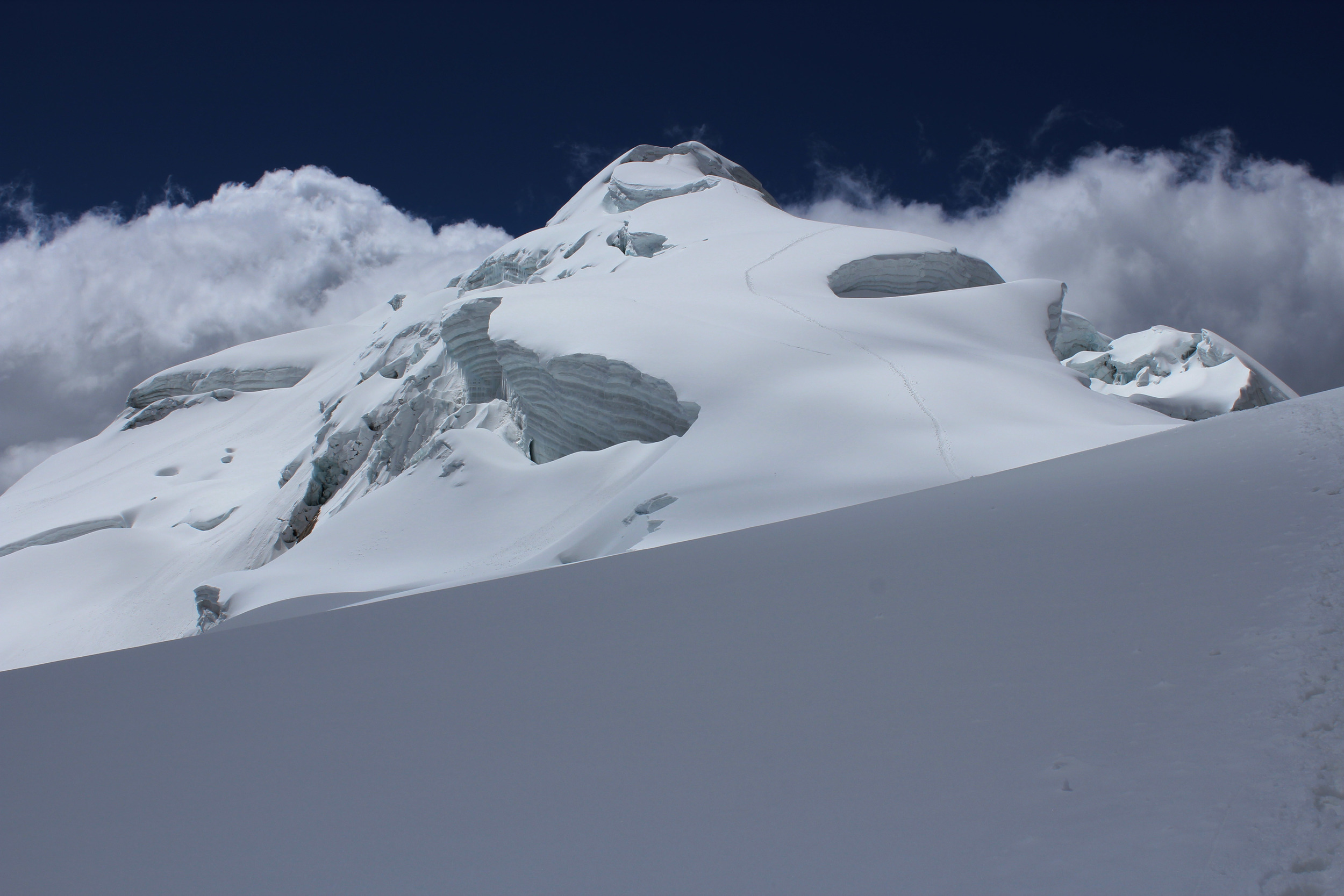
2009/10 Nepal/Tibet
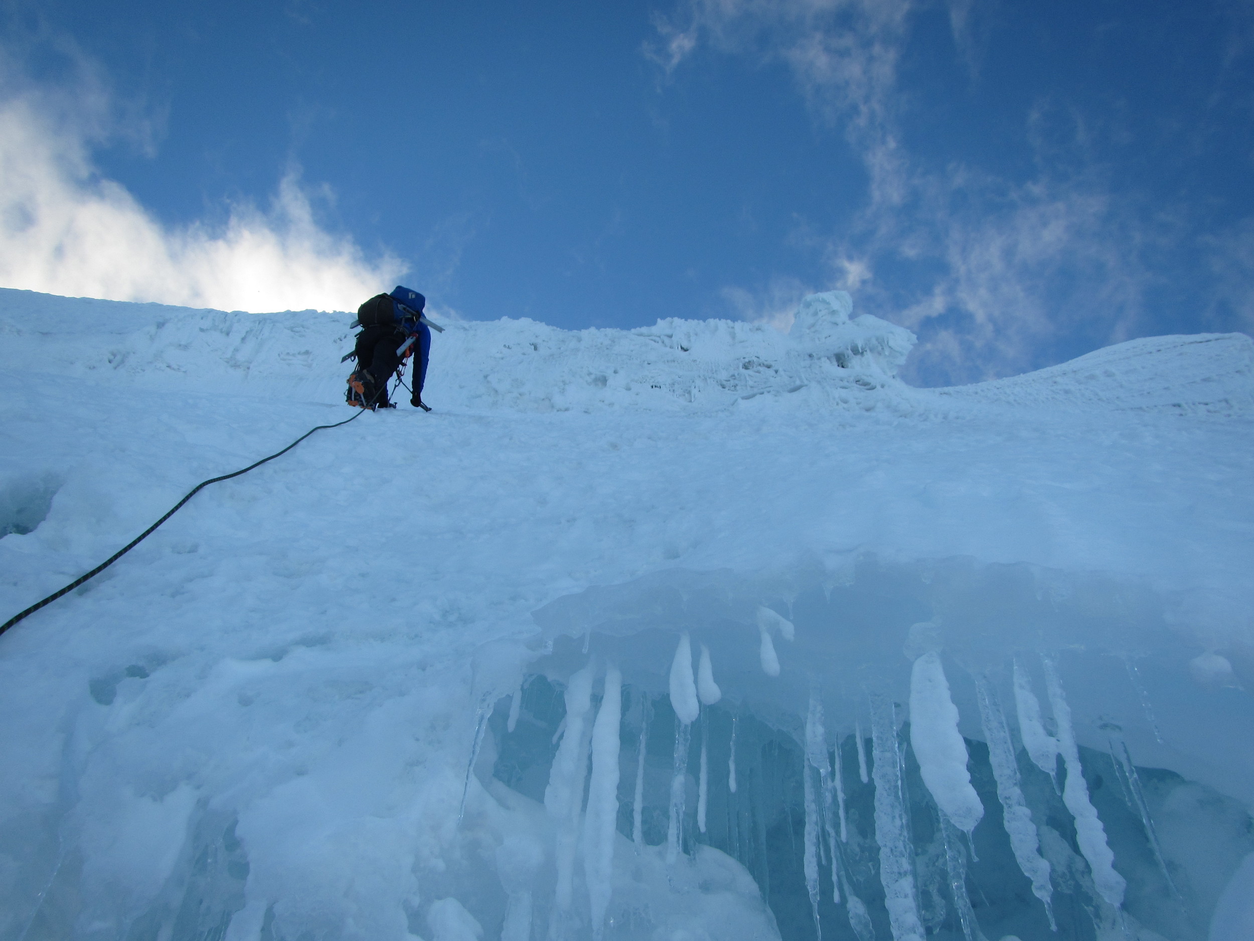
Objective: I received a Fulbright Senior Scholar Award to support the following activities: (i) exploration and environmental data collection expeditions throughout Nepal and Tibet and (ii) the conduct of field camps involving botany and remote sensing in various regions of Nepal, all in collaboration with the Central Department of Botany at the Tribhuvan University (TU) in Nepal. The objective of this Project was to collect environmental data and botanical samples, and document environmental conditions, in order to better understand climate change, while helping develop the local resources to conduct such research independently in the future by acquiring grants for infrastructure development at TU. Our team explored and documented environmental conditions and collected plant samples for the Tribhuvan University Central Herbarium (TUCH) in every remote location possible within the Langtang, Makalu, Manslu, Anapurna, Chitwan, Sagarmatha and Shivapuri protected areas, with a particular focus on the Khumbu region of Nepal. In total, we explored nearly 1,000 miles and climbed over 50 vertical miles during these expeditions. Nearly 100 students from Tribhuvan University participated during these expeditions – some of the students included professors who were learning how to combine field data collection with satellite remote sensing. Several participants used this unique data to support their Master’s theses. Multiple manuscripts presenting the results from the Project have been published, or are currently under review for publication. As the culmination of the trip, I spent two months in Tibet and climbed Mt. Everest via the North Col/Northeast Ridge Route. I summited without crampons; which has never been done before - unless George Mallory achieved the feat before his death. I also explored numerous valleys and ridge systems surrounding both the Tibet and Nepal Everest Base Camps for ground reference environmental data collection for use in the remote sensing studies documented above in the publications and presentations section; many of these isolated areas have almost certainly never been visited in the past.
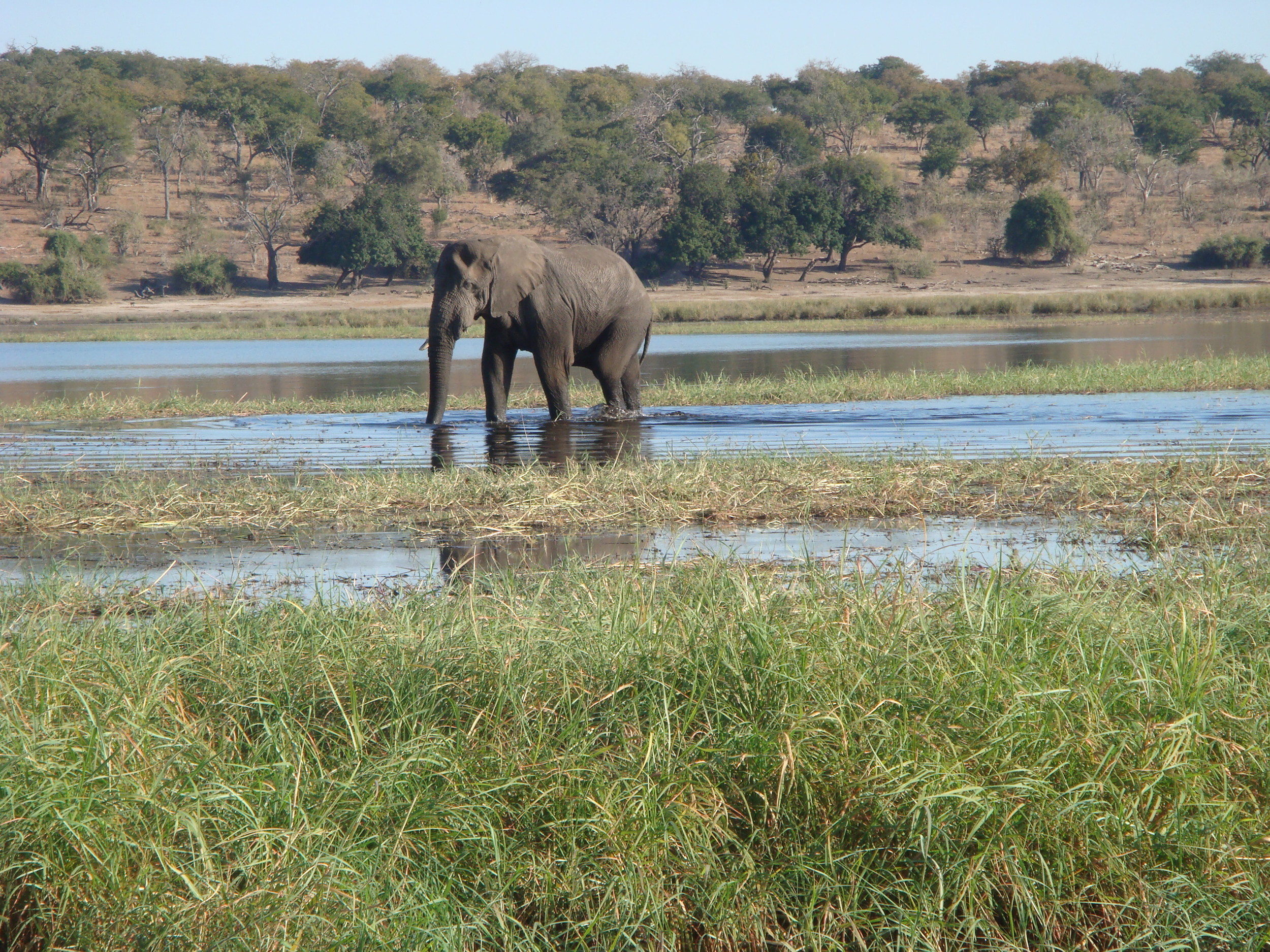
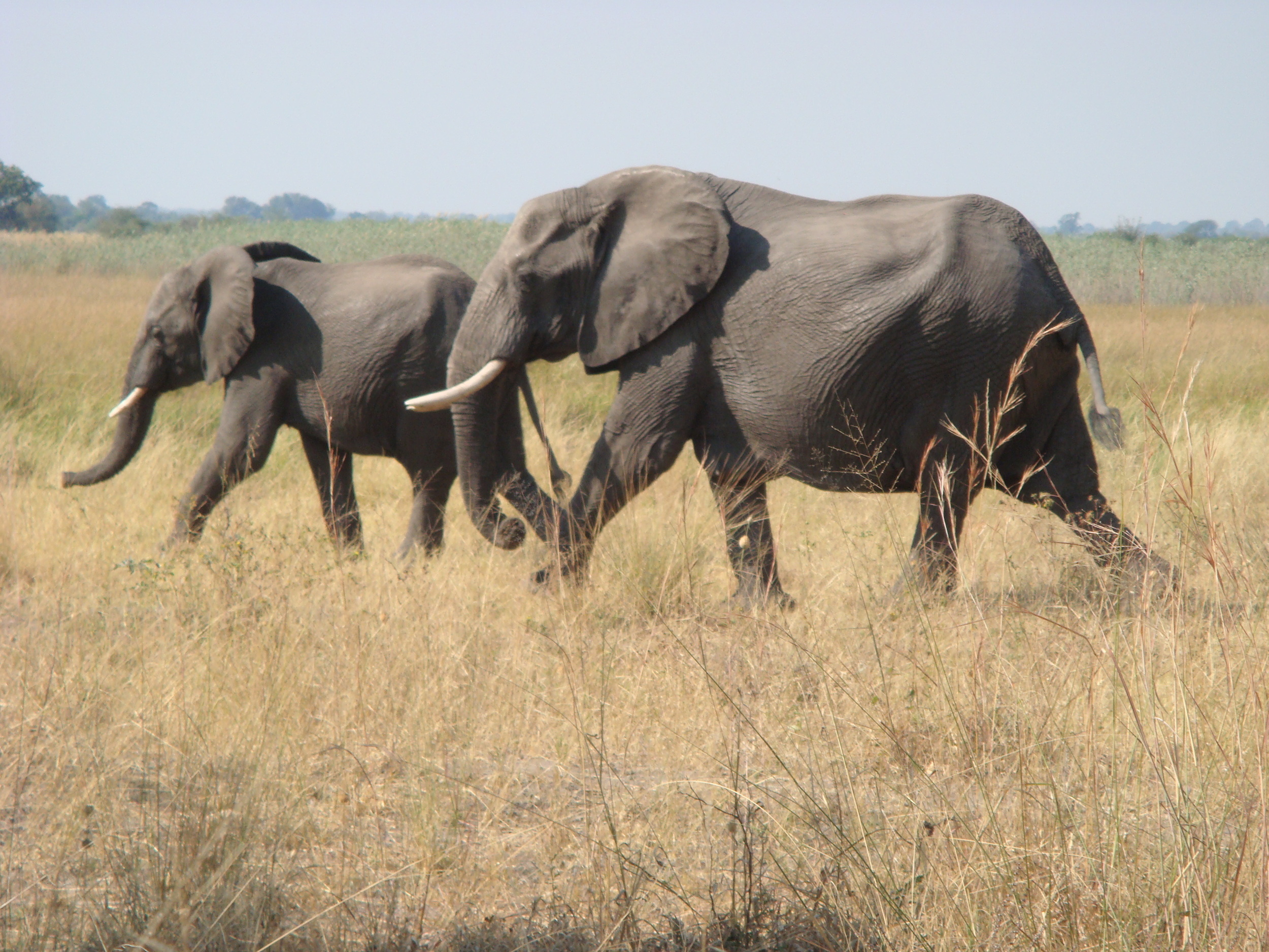
2009 Botswana/Namibia/South Africa
Objective: Live in Chobe National Park and map the vegetation in the most remote sections of the Park. Map vegetation in the Caprivi Strip and compare these conditions to National Parks in South Africa.
Summary: Our small team spent five weeks continuously living in Chobe National Park, where we mapped and documented conditions in areas that had never been visited by scientists. During that period, we were threatened daily by animals – especially elephants. As a result of our work, we developed a novel theory of the hydrology of the Chobe River basin based upon observation instead of conjecture. This work supported a PhD dissertation by Narcisa Pricope and several papers and numerous scientific presentations. This research was sponsored by the National Science Foundation and the University of Florida.
2008 Puerto Rico
Objective: Discover and map the caves on Isla Mona, Puerto Rico.
Summary: This project was undertaken at the request of the Puerto Rican Department of Natural Resources and is a multi-year program that I joined for one expedition. Many of the largest caves on the island were historically mined by slave labor for nitrates but none of them had ever been mapped and dozens had never been visited. Our team of ten spent a three-week expedition camping on the beach of the small island (surviving a tropical storm) and mapping caves. We discovered 28 new caves, mapped approximately 10,000 feet of cave passage, and found many two hundred year old artifacts from the nitrate industry.
2007 Botswana/Namibia/Angola/Zambia/Zimbabwe
Objective: Explore and map the regional National Parks and communal lands located in the Caprivi Strip and Chobe River Basin and in the process compare historical journal entries made by explorer and conservationist Graham Child in the 1950-60s to today’s vegetation.
Summary: Because of Tsetse fly, these areas had been uninhabitable until recently and so our University of Florida-led team of twenty conducted a thorough documentation of environmental and social parameters in the region. We extended this inquiry across the border into Angola and Zimbabwe and visited Kafue National Park in Zambia to take similar data as a comparison. During this trip, we mainly camped on the outskirts of the parklands and only worked during the day within the Parks, protected from animals by armed Park Service personnel. This research was sponsored by the National Science Foundation and directed through the University of Florida. Numerous University of Florida Masters thesis and PhD dissertations resulted.
2006 Chile/Patagonia
Objective: Map vegetation cover and ground reference data to evaluate climate change impacts.
Summary: During the course of this expedition, I explored various remote areas in Patagonia in the regions around Torreys del Paine, El Chalten, and Ushuaia and collected several hundred ground reference data points for use in satellite remote sensing studies. This data was used by one of my students for his Master’s thesis.
2005/06 Caves in South Central Kentucky, USA
Objective: Map and explore Mammoth Cave and surrounding areas in conjunction with the Cave Research Foundation, Mammoth Cave National Park, and the Center for Cave and Karst Studies.
Summary: As part of this project, I mapped over 2,500 feet of new cave passage in Mammoth Cave. Additionally, I discovered a new entrance to Whigpistle cave (over thirty miles long at this time) and have mapped several miles of passage within this cave. I discovered five new caves that total nearly 3,500 feet of passage in the Mammoth Cave area. Most of these maps are kept confidential by the National Park Service in order to protect the resources.
2004 Bhutan
Objective: Take vegetation ground reference data to examine climate change and to locate and map a rumored solutional cave in the Himalaya mountain range – which would be the first ever reported in the Himalaya.
Summary: This expedition was sponsored by Western Kentucky University and the World Foundation for Environment and Development (WFED) – an environmental NGO. As the country was shifting from a monarchy to democracy, I was asked by the consulting group WFED to assist with environmental resource evaluation in the country. We spent three weeks exploring the Himalayan foothills and sampling vegetation, which was shared with the Ministry of the Environment. We discovered ‘Ghost’ cave and reported it at the International Congress of Speleology in Athens, Greece. A manuscript has been prepared for publication in the Journal for Cave and Karst Studies and is undergoing review. In thanks for my efforts by the government, I was baptized in a Mahayana Buddhism temple.
2000/01 Colorado River Delta, Mexico
Objective: Expedition to support my PhD research examining the Colorado River Delta in Mexico.
Summary: This region has never fully been mapped or explored – especially after the massive changes that altered the area hydrology during the 1982/3 El Nino Event. I crisscrossed the Delta and mapped it and its flora in great detail. It was an eventful set of expeditions - an earthquake left my vehicle buried in the salt flats, on another occasion I had to walk 14 hours to find a dirt track to flag down an Army vehicle to request help freeing another vehicle, and I discovered over a ton of cocaine hidden and waiting to be smuggled across the US border.
1999 Sierra Madre, Mexico
Objective: Collect ‘fire scar’ tree-ring samples from the most remote locations in the Sierra Madre, document snake species locations, and map indigenous ruins.
Summary: As part of a National Science Foundation funded grant, Mark Kaib, a local collaborator, and I spent three weeks backpacking and collecting and carrying tree-ring samples through the Sierra Madre. This resulted in a PhD for Mark (currently the Southwest Deputy Regional Fire Management Coordinator for the National Wildlife Refuge System). We extended the known range of two snake species far into Mexico, and discovered an extensive set of early native American dwellings. Unfortunately, we also discovered several large marijuana plantations and were lucky to escape unharmed.
1997 Peru
Objective: Investigate potential tourism prospects in a newly developed protected area in the Rio Tambopato area of Peru.
Summary: I volunteered to participate in an expedition to search for and evaluate possible tourism sites near a remote communally operated hostel in this new National Reserve. With local indigenous guides, I explored possible hiking trails, examined remote lakes, and searched for parrot feeding grounds in order to create a robust experience for this new eco-tourism initiative. Many of these areas had never been mapped or visited by outsiders.
1997 Ecuador
Objective: Map and investigate climate change patterns in the Toachi River valley, located in the Andes in Ecuador.
Summary: I conducted this expedition to a poorly documented river valley with only a colleague from Israel and it was my first small team remote expedition. I prepared a report summarizing our findings regarding climate change patterns and human land use in the region for the University of Arizona.
1995 Bacanora, Mexico
Objective: Interview local stakeholders regarding their climate variability adaptation strategies – both what had been used in the past and what is being used today.
Summary: This expedition entailed traveling a transect from the Gulf of California through various farming villages to reach the Sierra Madre and then traveling north along its fringes in order to map villages and document native American ruins. Sponsored by the University of Arizona. As a PhD student, I interviewed locals and explored remote regions seeking ruins and isolated farmsteads for follow-up interviews.